On an old regional map, Faizabad is part of a much larger pattern: settlements, watercourses and routes spread across a crowded sheet. Looking beyond the town’s name offers a different introduction to the landscape around Ayodhya.
You can explore that pattern in the University of Texas Libraries’ digitised map collection. Its Faizabad sheet is labelled NG 44-7, within the U.S. Army Map Service’s U502 series. Treat it as a historical document to read, rather than a map for today’s journey.
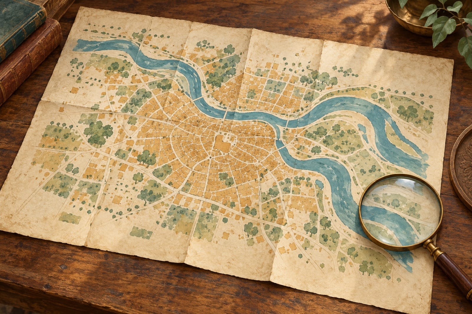
The header is a conceptual illustration. Use the linked university collection to view the historical map itself.
Start with the information outside the frame
Before tracing a road, look at the title, sheet number, series and scale. The Texas collection identifies the series as 1:250,000 and dates it from 1955 onwards. This is a regional view, not a street-by-street plan of a neighbourhood.
A Western Michigan University catalogue record for NG 44-7, Faizabad lists a publication date of 1962 and temporal coverage of 1955. Those are separate catalogue fields. They are a useful reminder to distinguish when a map was issued from the period of information it represents.
Read the margins as part of the document. They hold information that a quick crop or a small screen can hide. Keep the sheet reference beside any notes you make, so another reader can return to the same source.
Look at water before choosing a route
On the digitised Texas sheet, a broad blue river corridor is prominent near Faizabad. Follow its shape before concentrating on the roads. Then look at the smaller water features around it and the way settlements are distributed across the sheet.
This is an invitation to notice relationships, not to draw a conclusion from one symbol. A town may catch your attention first because its name is larger; a watercourse can then change how you see the surrounding space.
An old mapped channel does not establish the river’s present position, a safe access point or an operating boat service. If a riverfront visit is part of your plans, use current local information for the actual journey.
Let the legend explain the lines
The sheet’s legend separates roads from railroads and gives different symbols within those categories. Use that key before deciding what a line represents. A bold route on a map should not automatically become your preferred drive.
Pick one line and follow it slowly. Where does it meet another? Which named places sit along it? Does it cross water or run beside it? These questions help you read the map’s structure without turning it into a current itinerary.
The scale also sets a limit on what the sheet can tell you. A regional map can show connections across an area while leaving out details that matter on the ground. A present-day hotel entrance, a small lane or a step-free visitor route needs a different kind of check.
Notice what the margins tell you about confidence
The Texas scan includes a reliability diagram beside the main map. Its presence is worth noticing: the sheet carries information about how its contents were assembled, as well as the contents themselves.
Ask what is recorded and what you are supplying from your own knowledge. A familiar place name can make a document feel immediately understandable, but that does not settle the date, completeness or purpose of every feature.
If something is missing, resist filling the gap with a story. Absence from a regional sheet alone does not prove that a building, village or activity did not exist. Nor can this historical map establish current land ownership or permission to enter a place.
Keep the old map and today’s visit in different roles
The pleasure of an old map is that it makes you pause over a place you may otherwise encounter through a list of attractions. It can prompt questions about water, connections and the names people used to organise a landscape.
Keep the source open while you explore those questions. For another representation of the city’s past, see Faizabad in William Hodges’ drawing. A drawing and a regional map ask you to look in different ways; neither replaces current information for a visit.
Institutional map records checked on 14 October 2026. This is a historical-map reading guide, not a current navigation, boundary or property document.
AI-generated editorial illustration of a folded map and magnifying glass. Conceptual artwork, not a reproduction of the historical Faizabad sheet or a current navigation map. Prepared for web display; original retained.